Featured, general•5 min read How to Become a True Patriot by Kitcki Carroll, USET/USET SPF Executive DirectorPublished in the Richmond Times-Dispatch on July 4, 2025 In less than 15 months, on July 4, 2026, we will commemorate the 250th anniversary [...] Read More
The U.S. Drought Monitor April 29, 2021 The U.S. Drought Monitor is a map released every Thursday showing parts of the U.S. that are in drought. The map uses five classifications: abnormally dry (D0), showing areas that…
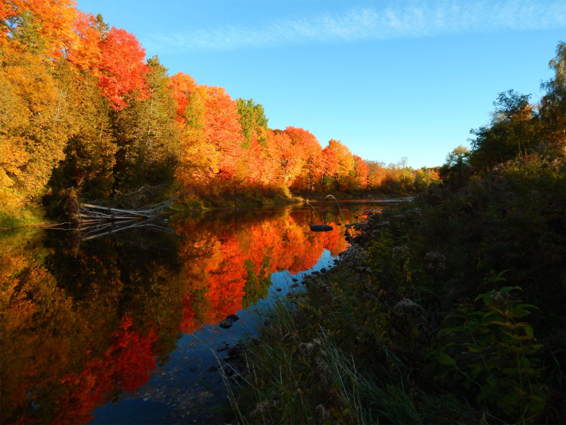
Eastern Forest Environmental Threat Assessment Center: U.S. Forest Change Assessment Viewer April 29, 2021 The U.S. Forest Change Assessment Viewer is the interactive map component of the USFS program, ForWarn II. ForWarn II is a vegetation change recognition and tracking system that uses moderate…
US Army Corps of Engineers: Sea-Level Change Curve Calculator April 29, 2021 This tool is provided by USACE and uses regionally specific data from NOAA’s sea-level gauges and graphically depicts the change in sea-level over time. The further ability of this tool…
NOAA Historical Hurricane Tracks April 29, 2021 This tool is part of a NOAA-sponsored website focused on helping communities address coastal issues and has become one of the most-used resources in the coastal management community. The dynamic Digital Coast…
USFS Forest Vegetation Simulator Online April 29, 2021 Modeling the Forest: The Forest Vegetation Simulator (FVS) is a forest growth simulation model. It simulates forest vegetation change in response to natural succession, disturbances, and management. It recognizes all…
NOAA Sea Level Rise Viewer April 29, 2021 Use this web mapping tool to visualize community-level impacts from coastal flooding or sea level rise (up to 10 feet above average high tides). Photo simulations of how future flooding…
I-Map Invasives April 29, 2021 iMapInvasives is an online, GIS-based data management system used to assist citizen scientists and natural resource professionals working to protect our natural resources from the threat of invasive species. Access the Resource
EDDMapS April 29, 2021 EDDMapS is a web-based mapping system for documenting invasive species and pest distribution. It is fast, easy to use, and doesn’t require Geographic Information Systems experience. Launched in 2005 by…
Climate Change Tree and Bird Atlases April 29, 2021 Both of these online tools use a three-step model that attempts to capture information on current and projected future suitable habitat, likelihood of colonization, as well as additional factors such…
The Fourth National Climate Assessment (NCA4) April 29, 2021 The Global Change Research Act of 1990 mandates that the U.S. Global Change Research Program (USGCRP) deliver a report to Congress and the President no less than every four years that “1)…
Tribal Adaptation Menu April 13, 2021 Many climate adaptation planning tools fail to address the unique needs, values and cultures of Indigenous communities. The Tribal Climate Adaptation Menu, which was developed by a diverse group of collaborators…
Tribal Climate Adaptation Guidebook April 13, 2021 The Oregon Climate Change Research Institute, along with Adaptation International, created the Tribal Climate Adaptation Guidebook, which provides a framework for climate change adaptation planning in the context of existing Tribal priorities.…